Data Import Tools
Data import tools for stakeholder organizations and partners involved in data collection, data storage, decision-making and research on Lake Sevan and Lake Sevan Basin
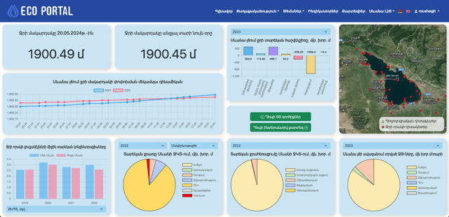
Data Analysis Dashboard
Provides a quick and accessible overview of important data and serves as a visual tool used for monitoring, analyzing, and displaying key information and metrics related to Lake Sevan and Lake Sevan basin.
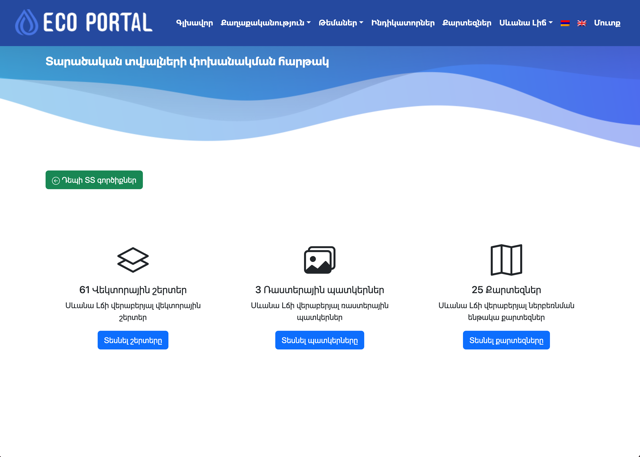
Geo-Spatial Data Sharing Platform
Digital infrastructure designed to facilitate the exchange, storage, management, and dissemination of geospatial data on Lake Sevan basin. It serves as a centralized hub where various stakeholders, including government agencies, research institutions, private companies, and the public, can access, share, and collaborate on geo-spatial information
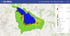
Interactive Map of the Lake Sevan Basin
Digital online map that allows users to actively engage with and manipulate geographic information on Lake Sevan basin. The map offers a range of features that enable users to explore, customize, and extract information on the basin from the available geo-spatial layers and imagery.